GPS Area Calculation v1.4.3 – Android App for Calculating Area with GPS
Offering the Purchased Version to You for $10.99
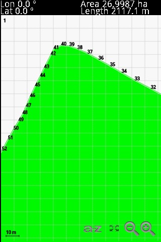
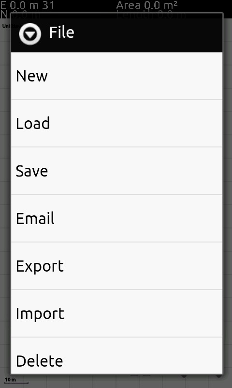
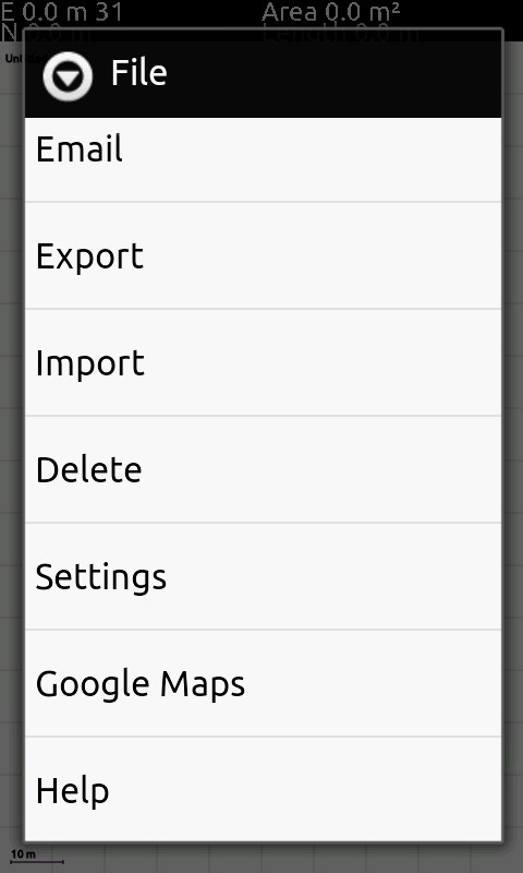
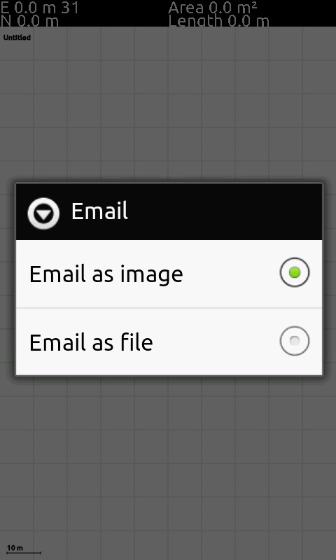
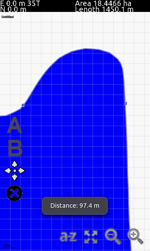
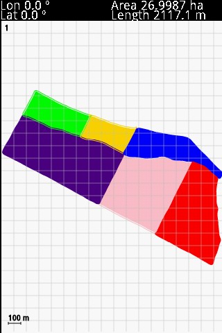
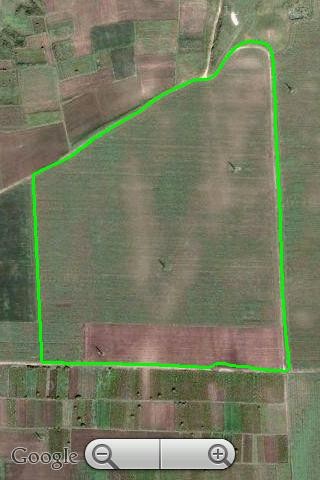
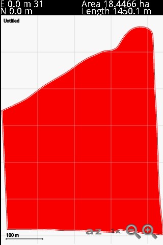
It has often happened to all of us that we want to measure the area of land or a region, but due to its condition, we may not be able to calculate it. Once again, Android applications have come to the aid of users and solved this problem using their capabilities. GPS Area Calculation is a program for calculating the area using GPS, developed and published by JAL for Android. With its intelligent system, this software allows users to accurately determine the dimensions of the desired area by defining its borders using Google Maps and GPS, along with its area. Both metric and imperial systems are included in this app, so you can use whichever one you need. During the measurement process, all scales and zoom levels are displayed, and you can also see the geographical coordinates of your location on Google Maps. In addition, you will be able to receive all calculations made in various formats and email them directly to your friends.
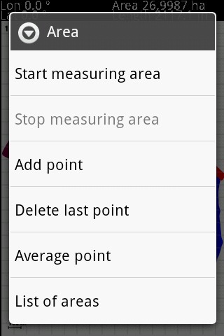
Some features and capabilities of the GPS Area Calculation Android app:
- Lat/Lon, UTM coordinates
- Precise calculations using UTM projection
- Accurate reading of GPS position, supporting both metric and imperial units of measurement
- Export data in ESRI Shapefile and DXF
- Display the desired area on Google Maps before measurement
- Access to scales and zooming
- Calculate the distance between location coordinates on the map
- Directly send measured area data to email
- Import SHP files into the map
The GPS Area Calculation application has received a score of 4.0 out of 5.0 from active downloads by thousands of users on the Play Store. You can now get the latest purchased version of this software for free from Farsroid.io.
* Improving program capabilities
* Removing output files from SD card
* Changing program font sizes
* Adding Turkish translation




Rules for sending comments
ClosePost a comment
Related
0